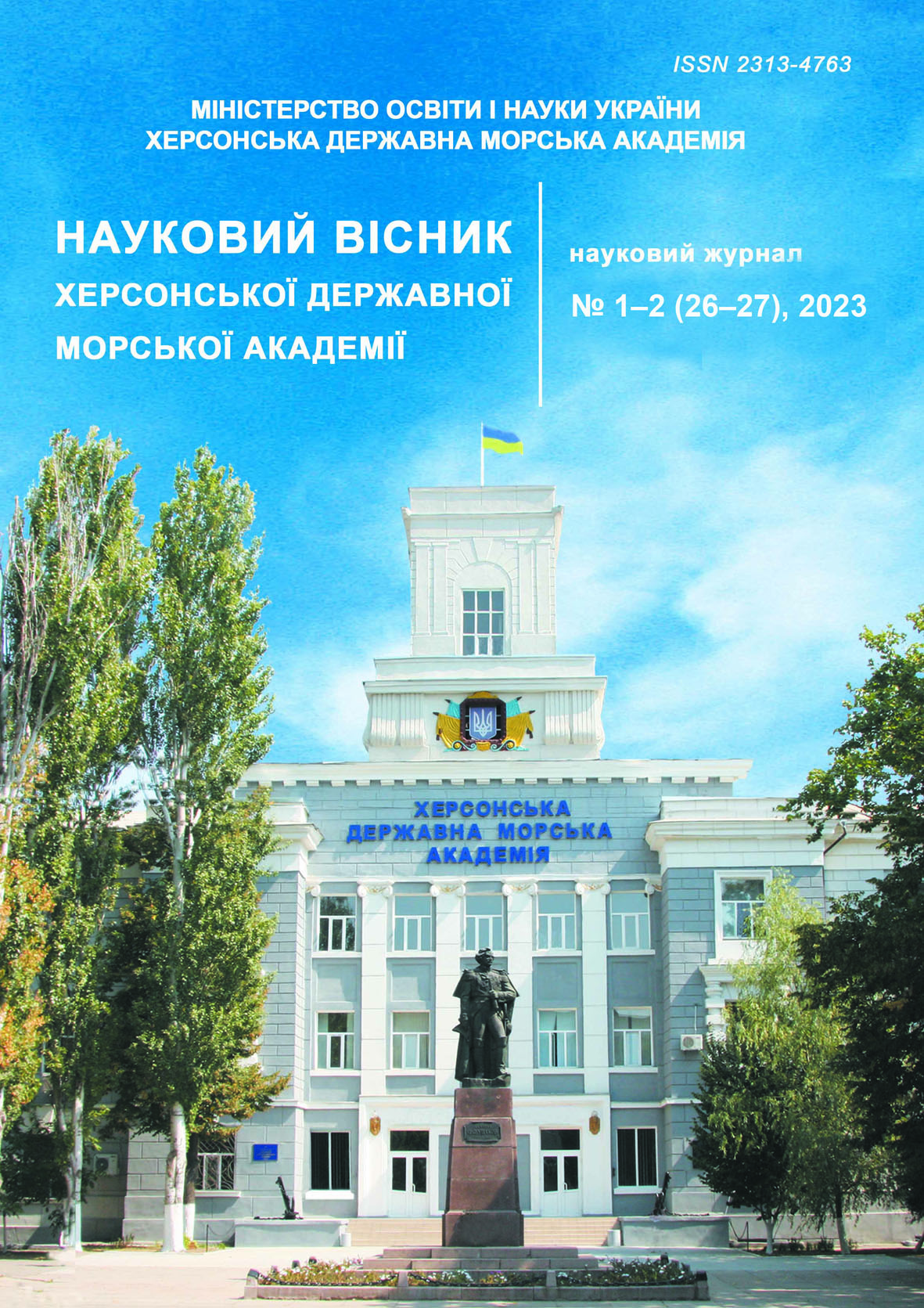
THE SAFETY IMPROVEMENT OF LARGE VESSELS NAVIGATION AND CONVOYS IN THE COASTAL SAILING ZONE AND THE EMBOUCHEMENTS OF RIVERS BY USING THE COORDINATE ECDIS CURSOR IN THE MODE OF A HIGH-PRECISION ANGULAR-RANGE-RANGING DEVICE
Abstract
The research conducted by the authors on it possible to state that the main factors for the accident of vessels and groups of vessels are the following factors:
Skippers of boatmasters in the account of constantly growing inertial-stoping characteristics and elements of turnings ability of ships.The absence on the vessels of technical devices that allow to take into account the dynamics of their changes and after comparing it with the current distance to navigational hazards, issue recommendations to the master for control of the vessel to keep him on a specified trajectory
The absence on the vessels of high-precision means of monitoring their position on the trajectory of motion relative to above water dangers and single (reefs, banks) underwater navigation hazards compatible with the accuracy of determining their place in the GNSS.
Proceding vessels that have high sailing and draft and speed thst not allow to keep them on a given track.
In the article, by the usage of the computer simulating authors experimentally confirmed the hypothesis of the possibility of using the mobile coordinate cursor ECDIS in the mode of a high-precision angular-range-ranging device for measuring distances and bearings by the method of automatically capturing various navigation objects
References
Marine Casualties And Incidents. (2016). European Maritime Safety Agency.
A. s. № 60486. Sposob kontrolya mestopolozheniya krupnotonnazhnihkh morskikh sudov na traektorii dvizheniya putem ispoljzovaniya sistemih priemnikov GNSS sopryazhennihkh s EhKNIS / Bogomjya V. I., Davihdov V. S., Kozhukharenko R. V., Demichev V. V. ; opubl. 06.07.2015.
Furuno. Rukovodstvo poljzovatelya. (2014). Furuno Electric Co. Ltd.
Tochnostj sputnikovihkh navigacionnihkh sistem : veb-sayjt. URL : https://seaspirit.ru/navigator/navigation/tochnost-sputnikovyx-navigacionnyx-sistem.html.
Vaguthenko L. L., Cihmbal N. N. (2007). Sistemih avtomaticheskogo upravleniya dvizheniem sudna. Odessa : Fenіks.
Demidenko P. P. (2008). Sudovihe radiolokacionnihe radionavigacionnihe sistemih. Odessa : OMNA. 334.
Doronіn V. V. (2007). Radіonavіgacіyjnі priladi ta sistemi : posіbnik dlya vithikh morsjkikh navchaljnikh zakladіv. Kyiv : KDAVT.
Katenin V. A., Dmitriev V. I. (2005). Navigacionnoe obespechenie sudovozhdeniya. Moskva : IKC «Akademkniga»,.
Gureev S. A., Zenkin I. V., Ivanov G. G. (2011). Mezhdunarodnoe morskoe pravo. Moskva.


